My annual fall trip to Colorado always begins with the Monarch Crest Trail. Some say it's over-rated, but I say it's hard to argue with a ride that covers 36 miles, 9 of which are above tree-line, has forever views, and a net elevation loss of 7,800 feet!


After traversing the Crest, the trail drops into the Silver Creek drainage which is fast, flowy, and beautiful. You can get some serious MPH going here.

After Silver Creek comes Rainbow Trail - lots of ups and downs and ins and outs through the trees and wildflowers, with incredible views around every corner.

I flashed this ride in less than 4 hours this year - I was having too much fun to go any slower!
After the ride I drove over to Gunnison and got ready for another biggie.
Reno-Flag-Bear-Dead is one of Crested Butte's most popular looped rides, covering 20 miles with 3,400 feet of climbing. The name is shorthand for Reno Divide Road to Flag Creek Trail to Bear Creek Trail to Deadman's Gulch Trail.
The ride starts with a long and steep climb up Reno Divide Road, past this fixer-upper with a view:

Then a long descent on Flag Creek trail. If you like motorcycle ruts and cow shit, you'll love this trail.

I know that most of the trails around Crested Butte were built by motos, but the conditions there don't support the amount of traffic they are getting.
I finished the Flag Creek descent and started up Bear Creek.

Notice the 2 big fresh cow pies in the trail. The first of hundreds. The stench of cow shit was everywhere, accompanied by hordes of biting flies. The only break from this during the long climb was the noise, exhaust fumes, and dust from passing motorcycles. Maybe it was my mistake for hitting this popular loop on a Sunday, but I saw more cow shit and motos in one afternon than I have seen in 10 years of riding in New Mexico. I won't be doing this "classic" again.
Next up was another new-to-me Crested Butte classic, the famous 401 trail. A long climb followed by a long descent. What could be better?
The climb was manageable, and the summit was attained.


Time for the descent. This one lived up to its reputation - fast, steep, and amazing scenery. Too much fun!

I'm sorry to say that the lower section of this trail also had tons of cow shit everywhere. Corporate welfare for America's "ranchers". Grrrr....
Time for an easy ride in anticipation of one last big one. I'm no spring chicken anymore (was I ever?) and riding many days in a row starts to wear me down.
I headed out to the trails on lower Brush Creek road - Canal Trail, Strand Hill, and Farris Creek. I was expecting to be down in the sagebrush and hot sun, but was happily surprised to find myself on twisting swoopy trails in a golden aspen forest, giddy with the joy of riding a bike through the trees on a brand-new trail!

That was FUN ! !
My last day. And a fateful one. I headed out for the Doctor Park loop from the Taylor Reservoir road south of Crested Butte. I had read thru the guidebook description many times, and opted to bring just my topo map, as the guidebook did not fit well into my hydration pack.
I headed up Spring Creek Road, a beautiful long but low-incline climb up a beautiful canyon with huge cliffs and spires on either side, gradually opening up into a wide valley. Having no odometer or GPS, I watched for landmarks mentioned in the guidebook.

Long story short - I missed a well-hidden turn off of this main road and pedaled an extra 5 miles and 1,000 feet before I figured out where I was. No problem - I had eaten a big breakfast, had plenty of water and food, so I scooted back down the road to my turn-off and headed into the... unknown.

The guidebook calls this section of trail a "road". Huh? Oh well.
I passed this spot the thinking the climbing was over. Silly me.

I rode up to the predicted fork in the trail, followed the suggested directions, and found myself at a 4-way intersection that was
not shown on the map or mentioned in the guidebook!? I puzzled over this for a while and made my best guess based on the elevation contours shown on my map. One mile and ~800 feet of descending later I dead-ended at a mining claim. My back trail was too steep to climb, so I pushed back up to the 4-way. Oomph.
Attempt #2. I tried my second-best guess and descended about 1,000 feet over a mile before dead-ending at, you guessed it, another mining claim. This also was too steep for me to climb back up in my depleted condition so I pushed it all. Ooomph!
Back at the 4-way, and only one way left to try. It was straight up a loose rocky Jeep road and I just pushed and rested, pushed and rested. I knew I had enough gas in the tank to go back the way I came, but DAMMIT I wanted my singletrack descent and I wasn't ready to give up.
I shed a tear of joy when I finally found this trailhead:

It was all worth it! This was one of the bestest trails I have EVER descended! Easily in my top five ever. Fast swoopy sections through meadows! Rooty twisty sections through the trees. Techy chunky switchbacks. And amazing swoopy flowy mile after mile down a creek lined with golden aspens. Nirvana for a mountain biker. And not a whiff of cow shit anywhere.


Click on the images for a better view. And thanks for looking!


 inally climbed this thing after 14 years of thinking I should.


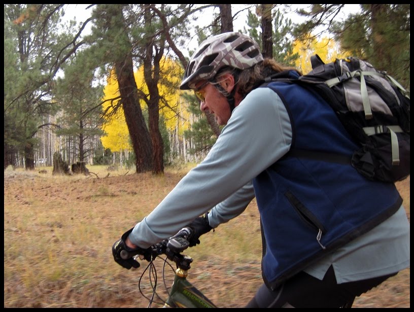
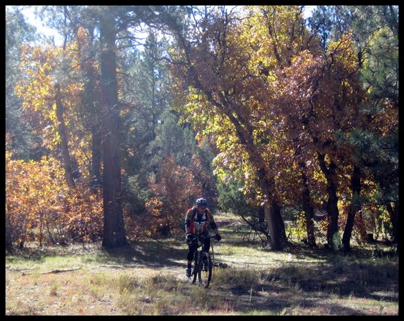
 hen you're driving along Interstate 40 between Albuquerque and Flagstaff, the scenery ranges from beautiful to boring, but mostly it all seems like different variations on high desert. There are stretches of cliffs and mesas, expanses of nothing but dunes and scrub, and miles of crusty black volcanic cinders. So it may come as a surprise that a few miles east of Gallup and a dozen miles south of the freeway, there are huge meadows and forests of aspen and ponderosa pines. And killer singletrack.